Hall Point


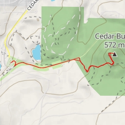
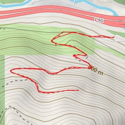
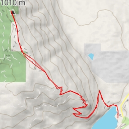
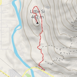
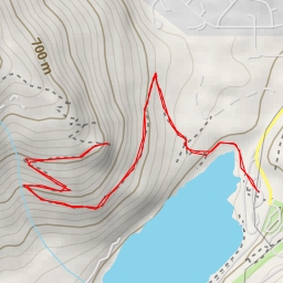
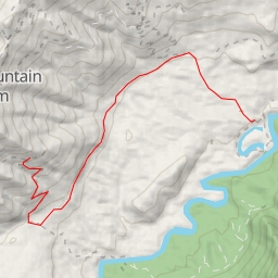
This hiking route will take you through a moderate difficulty trail in the Hall Point area. The total distance of the route is approximately 4.157 kilometers with an elevation gain of 391 meters, taking around 1 hour and 56 minutes to complete.
Starting at the parking area, you will begin your journey on the trail. Along the way, you will come across various points of interest. About 2.08 kilometers into the hike, you will reach Hall Point, a beautiful viewpoint where you can take in scenic views of the surrounding landscape.
As you continue on, at approximately 1.57 kilometers from the start, you will reach Olallie Knob viewpoint, offering another stunning vantage point. Further along the trail, at about 0.87 kilometers from the start, you will pass by We Did Rock, a popular attraction for climbers.
Other attractions along the route include Substation, Kiosk Rock, Deception Wall, and Write Off Rock, each offering unique experiences for hikers.
It is recommended to bring an ample water supply, especially on hot days, as well as to check the weather forecast before embarking on the hike. The trail is of moderate difficulty due to its length and elevation gain, so hikers should be prepared for a challenging yet rewarding trek.
Overall, this out-and-back route to Hall Point offers a memorable hiking experience with various points of interest to explore along the way.