Relief Maps
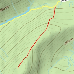
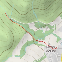
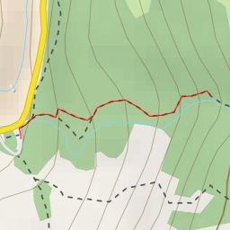
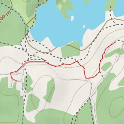
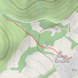
Sheep Crag
United Kingdom
›
England
›
Westmorland and Furness
Duration
01:37
Distance
3.94 km
Elevation
282.0 m
l4ts
l4ts
ms6282
ms6282
ms6282
Open in Relief Maps
Download GPX
All hiking routes
Other routes nearby
Hell Gill Pike
Miners Bridge - Miners Bridge
Tom Ghyll Waterfalls
Tarn Hows Viewpoint
Coniston Waterfall
Old Man of Coniston
Stones Lane
High Blind How