&fill=rgba(0,0,0,0))
Münchberg
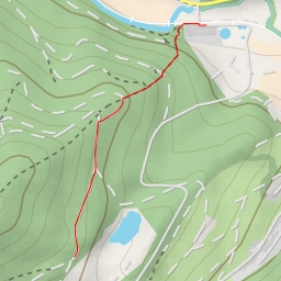
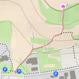
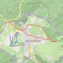
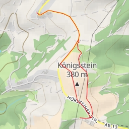
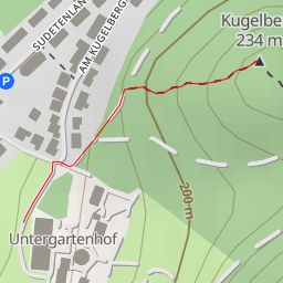
This hiking route starts in Münchberg, a charming town surrounded by beautiful nature. The trail is an out-and-back type, with a total distance of 1.743 kilometers and an elevation gain of 37 meters, making it a relatively easy hike suitable for all skill levels.
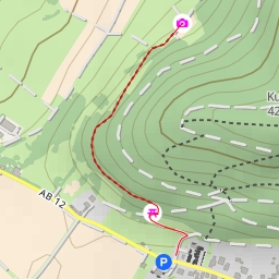
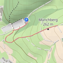
As you start your journey, you will pass by a parking lot where you can leave your vehicle before embarking on the trail. Just a short distance from the start, you will come across an information point where you can learn more about the area and its history. Further along the path, you will encounter a bench where you can take a rest and enjoy the peaceful surroundings.
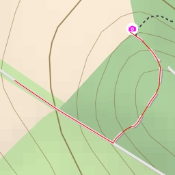
As you continue on the trail, you will come across a wayside cross, a viewpoint offering stunning views, and another information point named Gassenackerweg und Gassenacker. These points of interest provide a great opportunity to take in the beauty of the landscape and learn more about the region.
One of the highlights of the hike is the Kleegarten, another information point where you can explore the flora and fauna of the area. Towards the end of the trail, you will reach a wanderparkplatz am Friedhof, which serves as a starting point for various hiking trails in the area.
The route culminates at the peak of Münchberg, where you can enjoy panoramic views of the surroundings. Along the way, you will also find several benches where you can relax and take in the peaceful atmosphere.
Before embarking on this hike, make sure to bring plenty of water, wear appropriate footwear, and check the weather forecast to ensure a safe and enjoyable experience. Whether you are a seasoned hiker or just looking for a leisurely stroll in nature, this trail offers something for everyone.