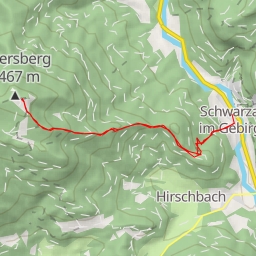
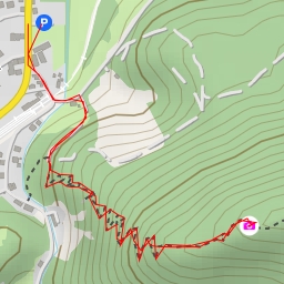
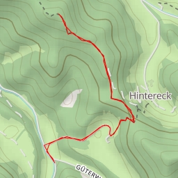
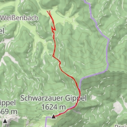
This hiking route takes you through a beautiful area with a total distance of 8.486 kilometers and an elevation gain of 192 meters, making it a difficult trail. The estimated duration of the hike is 2 hours and 26 minutes. Before embarking on this journey, make sure to bring an adequate supply of water and check the weather forecast.
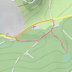
As you start your hike, you will come across the Fischteich, a picturesque water feature located just 0.38 kilometers from the trailhead. Further along the trail, at the 4.24 kilometer mark, you'll encounter another water source, offering a refreshing break.
Throughout the hike, you will also pass by various points of interest such as the Mühlrad, located 0.02 kilometers from the start, and several benches and information points along the way.
For those interested in geological formations, there are multiple cave entrances to explore, with some located closer to the trail and others a bit further away.
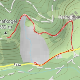
As you reach the midway point of the hike, you'll find a historic wayside cross and a viewpoint with a peak, providing stunning panoramic views of the surrounding area.
Towards the end of the trail, you will encounter a spring and several more cave entrances, showcasing the diverse natural beauty of the area.
Overall, this out-and-back hiking route offers a challenging yet rewarding experience for outdoor enthusiasts looking to explore the area's natural wonders.