&fill=rgba(0,0,0,0))
Porcupine Ridge


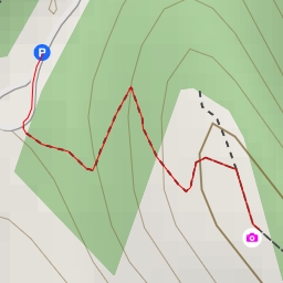
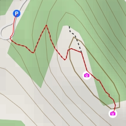
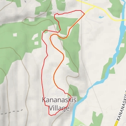
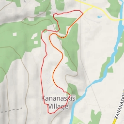
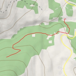
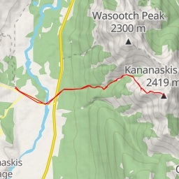
This hiking route takes you through the beautiful Porcupine Ridge area, offering stunning views and a challenging terrain. With a total distance of 11.202 kilometers and an elevation gain of 634 meters, this difficult trail is perfect for experienced hikers looking for a good workout.
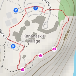
Starting at the parking area near the trailhead, you will begin your journey along the well-marked path. As you make your way through the rugged landscape, be sure to keep an eye out for the Porcupine Ridge peak, located approximately 5.6 kilometers from the start.
Along the route, you will encounter various points of interest, including scenic viewpoints and rest areas. Be sure to bring plenty of water and snacks, as well as a map and compass for navigation. Checking the weather forecast before setting out is also recommended, as conditions can change quickly in this mountainous region.
As you reach the peak of Porcupine Ridge, take a moment to soak in the panoramic views before retracing your steps back to the trailhead. The entire hike is expected to take around 4 hours and 10 minutes to complete.
Overall, this challenging out-and-back trail promises a rewarding experience for hikers who are up for the adventure. Enjoy the beauty of Porcupine Ridge and make lasting memories along the way.