&fill=rgba(0,0,0,0))
Kellerbrunnenweg - Kellerbrunnenweg - Stuttgart

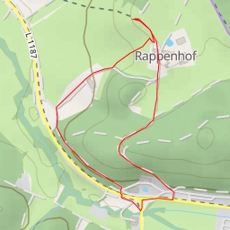
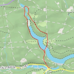
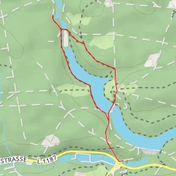
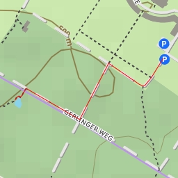
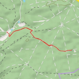
Welcome to the Kellerbrunnenweg hike in Stuttgart! This super easy circular route spans approximately 1.773 kilometers with no elevation gain, making it the perfect leisurely walk for all skill levels.
You will start your journey at the parking lot near SSB, where you can easily access the trailhead. As you make your way along the path, you'll pass by amenities such as benches for a quick rest and information points like "Wo fließt denn der Nesenbach?" for some local knowledge.
About halfway through the hike, at 0.88 kilometers from the start, you will find a water source for a refreshing break. Further along the trail, you'll come across more benches and information points, including "Stuttgarter Rundwanderweg" and "Wozu dient dieser Damm?" providing insights into the local area.
As you near the end of the hike, at 0.17 kilometers from the start, you'll encounter some beautiful artwork along the trail, adding a cultural touch to your outdoor experience.
Before embarking on this hike, be sure to pack water, wear comfortable walking shoes, and check the weather forecast. Whether you're a local looking for a peaceful stroll or a visitor wanting to explore the beauty of Stuttgart, the Kellerbrunnenweg hike offers a delightful escape into nature with convenient points of interest scattered throughout the route.