&fill=rgba(0,0,0,0))
Camí aeri N-O de Sant Honorat


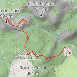
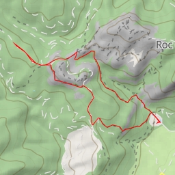
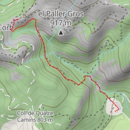
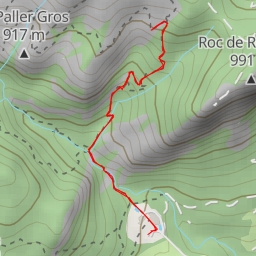
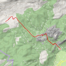
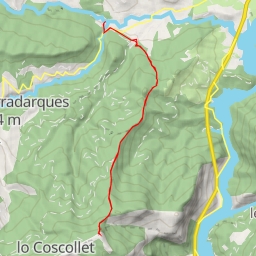
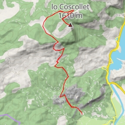
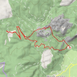
This hiking route takes you through the beautiful area surrounding Camí aeri N-O de Sant Honorat. The 5.99 kilometers long trail offers a challenging hike with an elevation gain of 534 meters, making it a difficult but rewarding trek.
Along the way, you will encounter various points of interest. At the beginning of the trail, you will come across the ruins of Sant Honorat, a historic site just 2.55 kilometers from the start. As you continue, you will also find a water source 0.24 kilometers from the beginning, perfect for a quick rest and refreshment.
Further along the trail, at 2.25 kilometers from the start, you will find Roc de Picapoll, a natural peak offering stunning views of the surroundings. Additionally, Roques de Sant Honorat, another peak, can be found 2.72 kilometers from the start.
For those interested in history, you can explore the ruins of forn de Calç 310 at 0.87 kilometers from the start. And if you're feeling adventurous, the cave entrance of Balmes de Sant Honorat is 1.64 kilometers from the beginning.
Throughout the hike, you will also encounter various viewpoints offering breathtaking vistas of the area. Be sure to stop and take in the scenery at these locations.
As this is a challenging hike with significant elevation gain, it is important to come prepared. Be sure to bring plenty of water, wear appropriate hiking gear, and check the weather forecast before embarking on the journey. Additionally, it is recommended to start early to allow enough time to complete the trail comfortably.
Overall, the Camí aeri N-O de Sant Honorat hiking route offers a rewarding experience for outdoor enthusiasts looking to challenge themselves and explore the natural beauty of the area.