&fill=rgba(0,0,0,0))
Hahnbaum
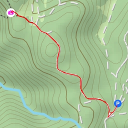
This hiking route will take you through the scenic area of Hahnbaum, offering a challenging yet rewarding experience. The trail is an out-and-back type, with a total distance of 7.43 kilometers and an elevation gain of 344 meters, making it a difficult hike that will test your endurance.
At the beginning of the trail, you will find the parking area at Haslersgatter, where you can leave your vehicle before starting your journey. As you make your way along the path, you will come across informational points such as the "Willkommen im Nationalpark Kalkalpen" sign, providing you with insights into the surrounding area.
Further along the route, you will encounter Mayralm ruins, adding a touch of history to your hike. The trail also leads you to viewpoints like Laubkögerl and Hahnbaum, where you can take in breathtaking panoramic views of the natural landscape.
For your convenience, there are benches scattered along the trail, providing you with opportunities to rest and take in the beauty of the surroundings. Additionally, drinking water is available at designated spots to keep you hydrated throughout your trek.
As you reach the midpoint of the hike, you will find the Jägerkreuz memorial, reminding you of the area's rich heritage. Towards the end of the trail, you will find a water source at a distance of 2.37 kilometers from the start point, perfect for refilling your water bottles.
Before embarking on this hike, be sure to pack plenty of water, snacks, and proper hiking gear. Additionally, check the weather forecast to ensure a safe and enjoyable hiking experience. Whether you're an experienced hiker looking for a challenge or a nature enthusiast seeking stunning views, the Hahnbaum hiking route offers something for everyone.