&fill=rgba(0,0,0,0))
Rotgabele
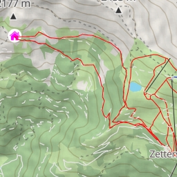
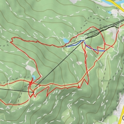
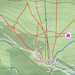
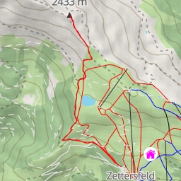
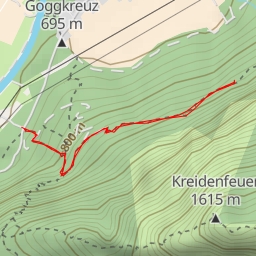
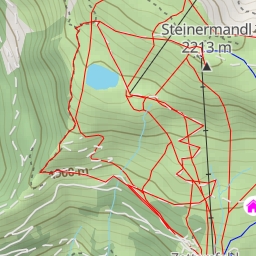
This hiking route takes you on a challenging journey through the stunning alpine landscape of Rotgabele. With a total distance of 14.113 kilometers and an elevation gain of 963.0 meters, this trail is rated as extremely difficult, suitable for experienced hikers looking for a rewarding adventure.
Starting at the trailhead, you will first come across "die Alm", a restaurant located just 165 meters from the trail. This is a great spot to fuel up before embarking on your hike. As you continue, at around 4.06 kilometers from the start, you will reach "Thurner Alm", an alpine hut where you can take a break and enjoy the panoramic views of the surrounding mountains.
Further along the trail, at the 6.6 kilometer mark, you will encounter "Alkuser Scharte", a saddle point offering breathtaking vistas of the alpine terrain. Then, at 6.86 kilometers, you will reach the highlight of the hike, "Rotgabele", a peak with unbeatable 360-degree views.
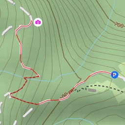
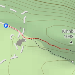
Along the way, you will also pass by "Rottmannalm" parking area and an information point at 1.37 kilometers from the start, providing valuable insights into the area's natural and cultural heritage.
Given the length and elevation of the hike, it is important to come prepared with plenty of water, snacks, and appropriate hiking gear. Additionally, check the weather forecast before setting off, as alpine weather can be unpredictable.
Overall, this circular route to Rotgabele promises a challenging yet rewarding experience for hikers seeking an adventure in the heart of the Austrian Alps.