&fill=rgba(0,0,0,0))
Frau Hitt


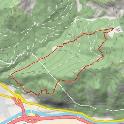
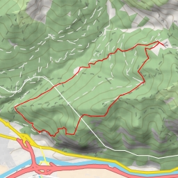
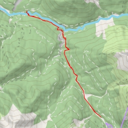
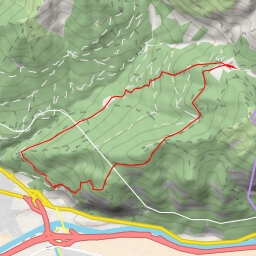
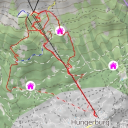
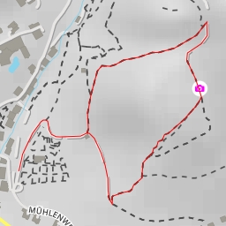
Welcome to the Frau Hitt hiking route, a challenging and extremely difficult trail that spans 12.194 kilometers with an elevation gain of 1345 meters. This circular route will take approximately 6 hours and 11 minutes to complete.
The trail starts in a picturesque area surrounded by natural beauty, offering hikers a glimpse of the stunning landscape that awaits. As you embark on this adventure, be prepared for a strenuous journey that will test your endurance and determination.
Along the way, you will encounter various points of interest that add to the allure of the hike. At the beginning of the trail, you will find Gasthaus Gramart, a cozy restaurant where you can refuel before your ascent. Further along, the trail leads you to Höttinger Alm, a charming alpine hut offering a welcoming retreat for tired hikers.
As you continue your journey, you will come across Westliche Sattelspitze, a peak that offers breathtaking panoramic views of the surrounding landscape. For those seeking a challenge, there are opportunities for climbing at various points along the trail, including dryland and Wendeltreppe.
Throughout the hike, be sure to stay hydrated by utilizing the drinking water stations conveniently located at different points along the trail. It is recommended to pack plenty of water and snacks to keep your energy levels up during this demanding hike.
Before embarking on the Frau Hitt trail, ensure that you check the weather forecast and dress accordingly. Proper hiking gear, including sturdy footwear and layered clothing, is essential for this rugged terrain.
Whether you are a seasoned hiker looking for a new challenge or an outdoor enthusiast seeking adventure, the Frau Hitt hiking route promises an unforgettable experience amidst the stunning natural beauty of the region. Lace up your hiking boots and get ready to conquer this demanding trail!