Relief Maps
bezirk-hallein :Hiking and stroll routes
Relief Maps register the best hiking routes all over the world
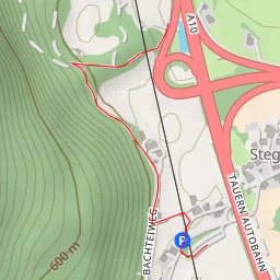
Zoom in to view the hiking routes
Duration
Distance
Elevation gain
Tauern Autobahn - Tauern Autobahn
Kratzspitz
Rabenstein
Salzachtalstraße - Salzachtalstraße
Alte Krisplerstraße
Kirchenwandstraße - Kirchenwandstraße
Guggenberg
Discover more in the area :
Alte Krisplerstraße
Guggenberg
B159
B159
Salzachtalstraße - Salzachtalstraße
Kirchenwandstraße - Kirchenwandstraße
Reitlweg
Dom
Rabenstein
Tauern Autobahn - Tauern Autobahn
Kratzspitz
