&fill=rgba(0,0,0,0))
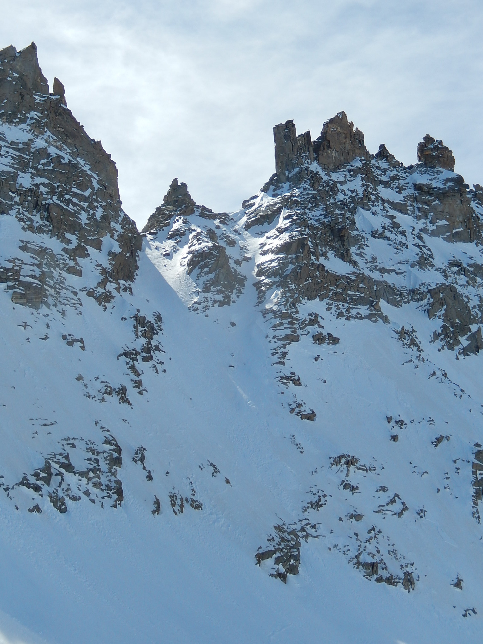
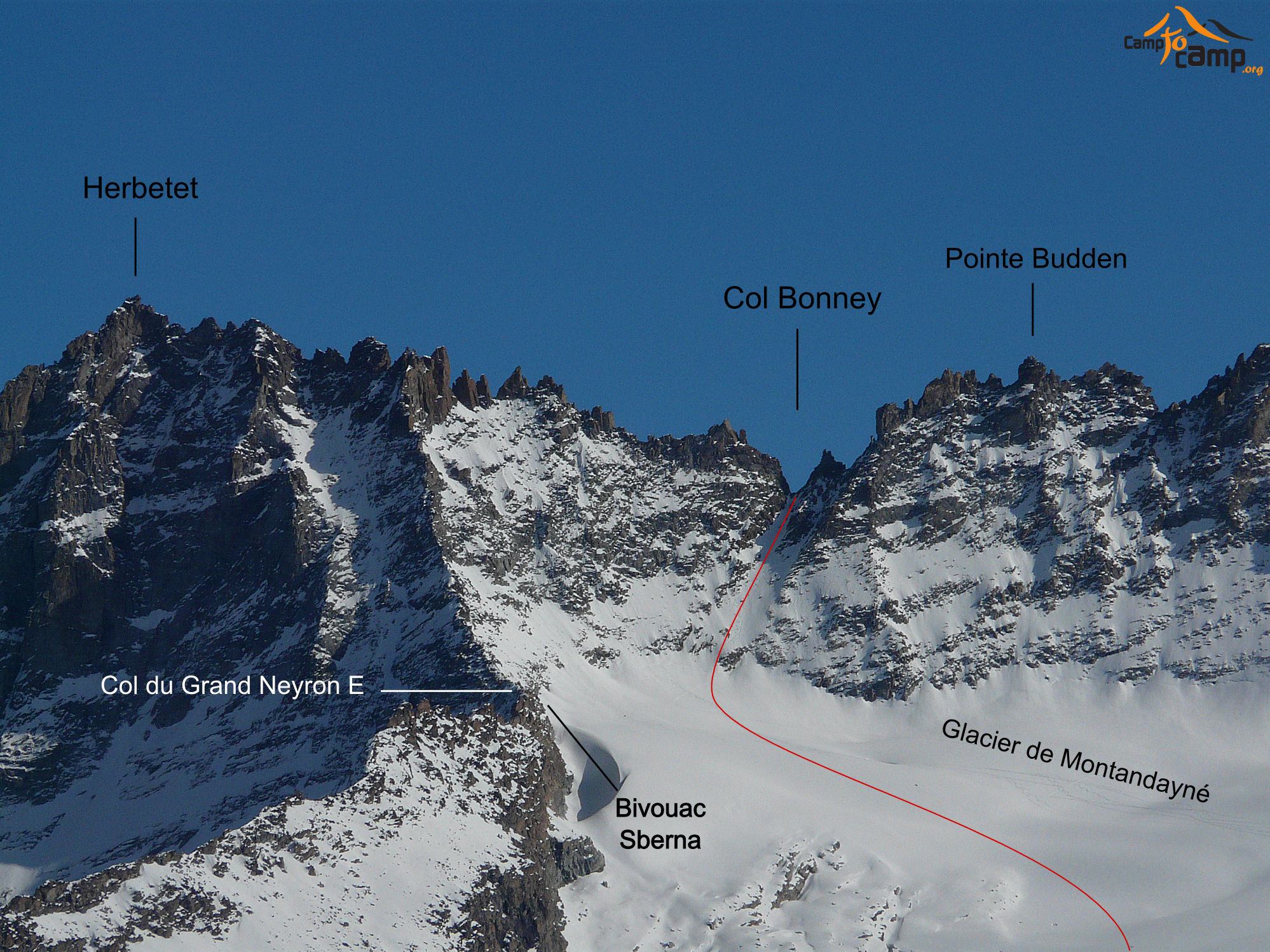
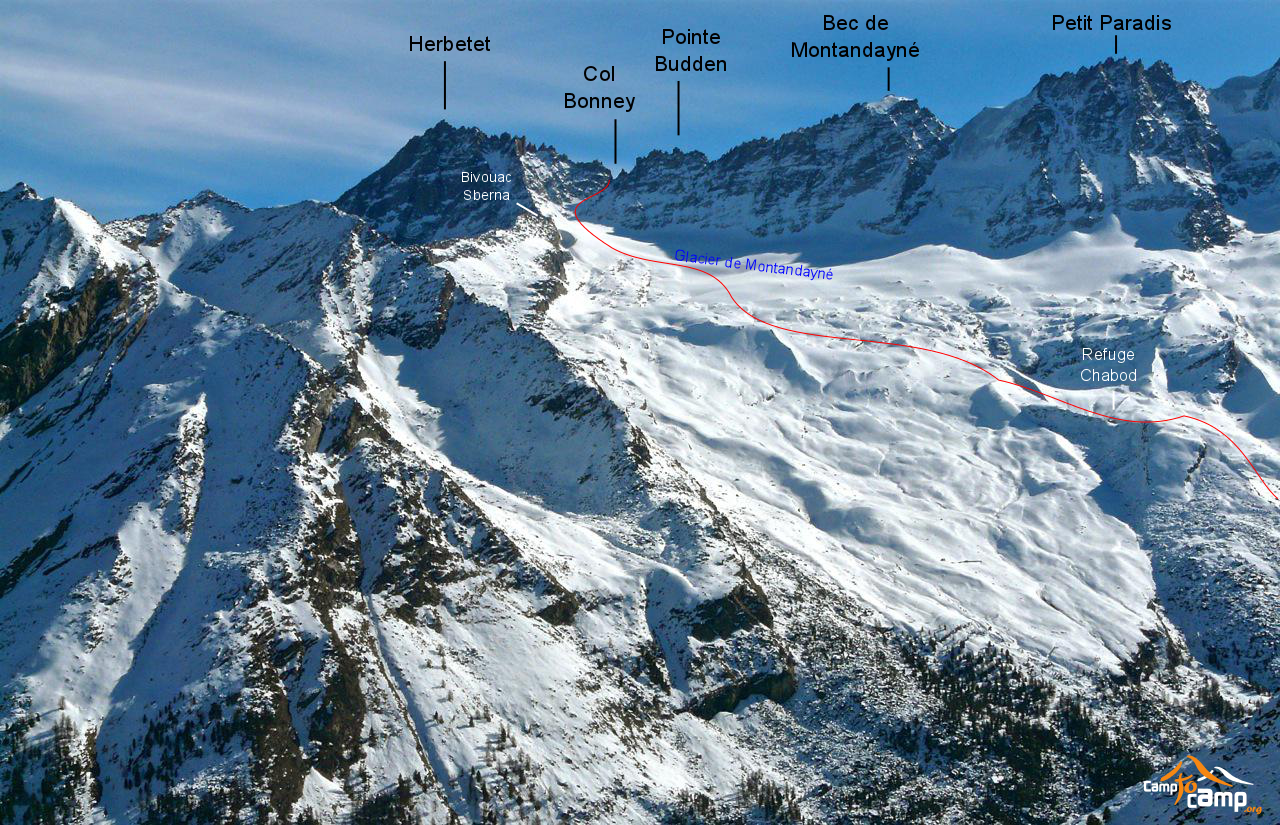
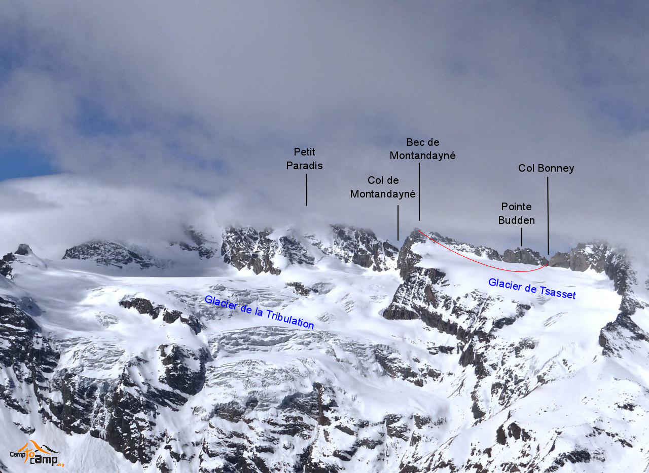
Bec de Montandayné Par le col Bonney
Duration
07:32
Distance
20.359 km
Elevation
2100.0 m
 This route is provided by the Camp to Camp community. Click here to access it directly on their website.
Voir version italienne
Other routes nearby

Pointe Fenilia Versant NE depuis Lillaz

Grand Paradis, Voie normale

Grand Paradis, Traversée Face NO > Voie normale

Grand Paradis, Raid en boucle par Punta Foura

Grand Paradis, tour et sommet par la traversée de la Tribolazione

Grand Paradis, Face Est

Grand Paradis, Face sud du Roc "Stairway from heaven"

Passage du Grand Neyron Traversée été Refuge V. Sella → Refuge Chabod