&fill=rgba(0,0,0,0))
Col de Teleccio Par le Vallon de Valeille
Duration
04:54
Distance
10.463 km
Elevation
1700.0 m
 This route is provided by the Camp to Camp community. Click here to access it directly on their website.
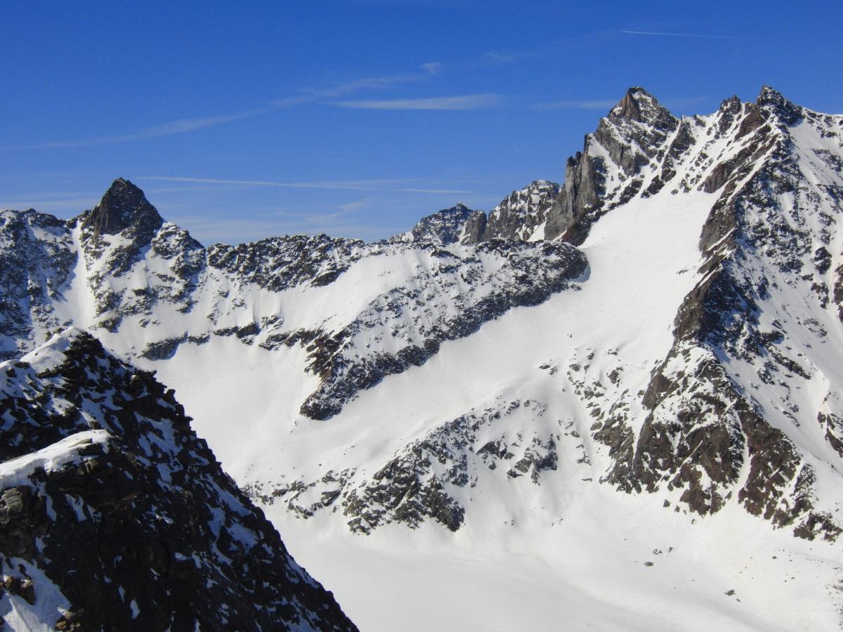

[img=1000345right]itinéraire versant Valeille[/img]
Itinéraire à décrire en français, version italienne disponible en attendant


