Relief Maps
Hiking : Ofenhorn / Punta d'Arbola Versant E par le vallon del Vannino
&fill=rgba(0,0,0,0))
Durée
Distance
Dénivelé
 Cet itinéraire vous est proposé par la communauté Camp to Camp. Cliquez ici pour y accéder directement sur leur site web.
## Montée
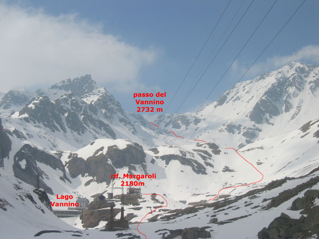
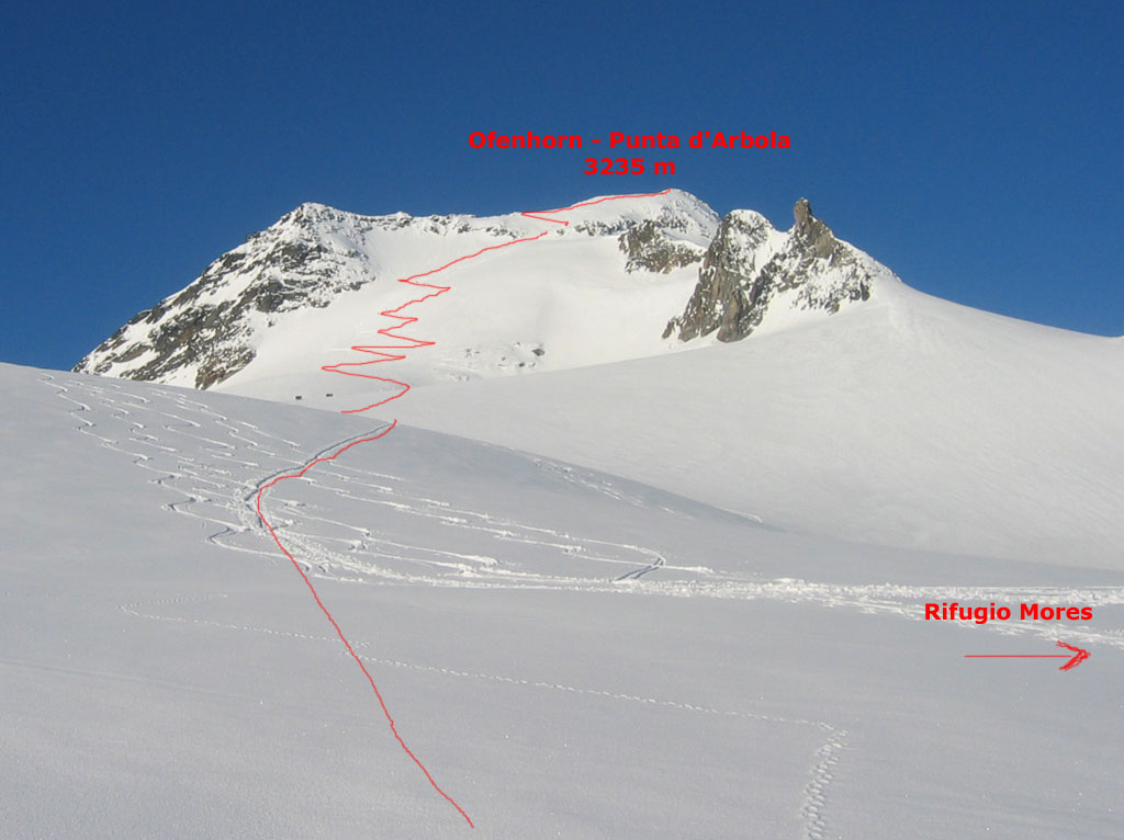
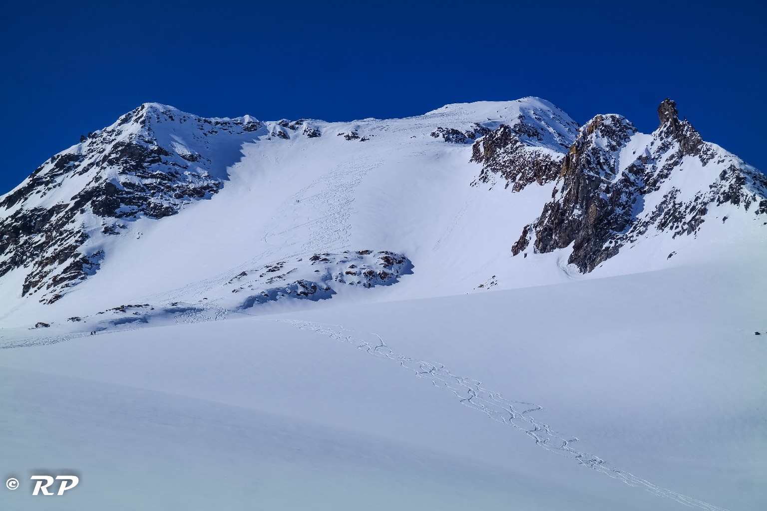
Du refuge Margaroli, partir direction NW jusqu'au lac Srùer (2330 m). Le traverser ou le contourner, puis continuer direction NW, jusqu'au Passo del Vannino. Prendre pied sur le glacier del Sabbione. La Punta d'Arbola s'atteint ensuite, soit directement en remontant la face E, soit en contournant un rognon rocheux par la droite, pour terminer par la face NW (itinéraire classique en provenance de BinntalHütte).
## Descente
Idem montée.


