&fill=rgba(0,0,0,0))
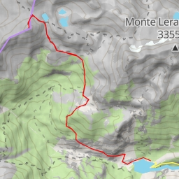
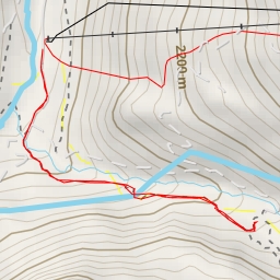
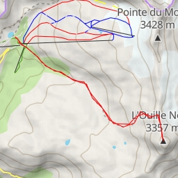
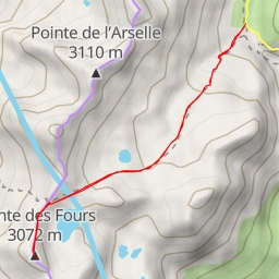
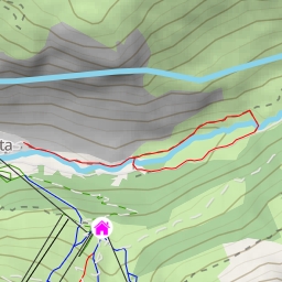
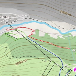
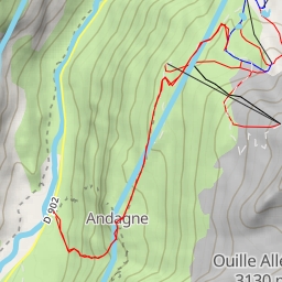
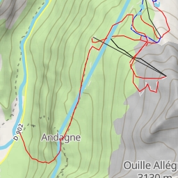
Albaron Évettes -> Petite Ciamarella -> Albaron -> Bessanaise par le Col du Grand Fond
Duration
07:47
Distance
19.112 km
Elevation
2400.0 m
 This route is provided by the Camp to Camp community. Click here to access it directly on their website.