Relief Maps
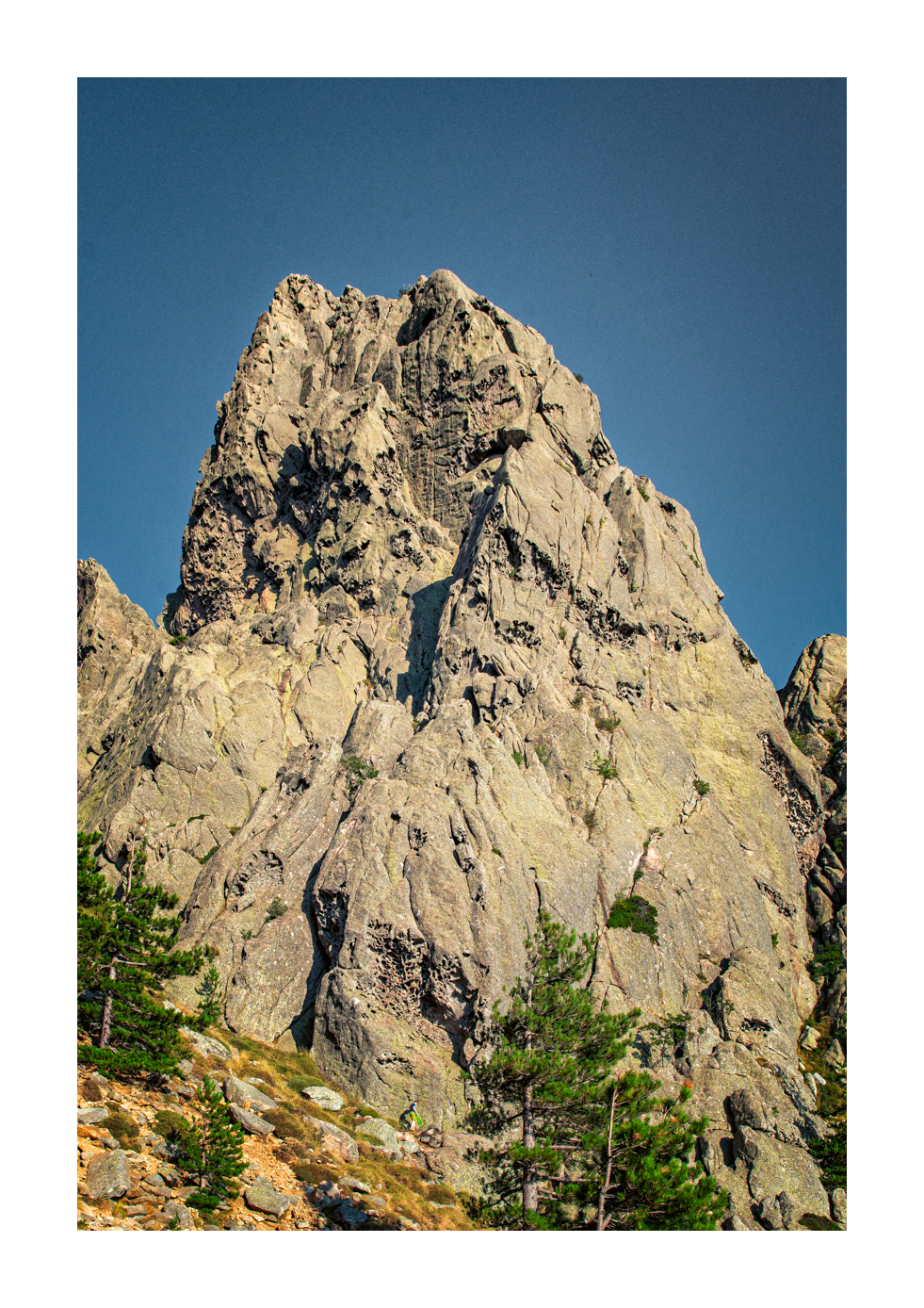
Hiking : Punta di l'Ariettu/Arghjetu Alpinmuppets
&fill=rgba(0,0,0,0))
Durée
Distance
Dénivelé
 Cet itinéraire vous est proposé par la communauté Camp to Camp. Cliquez ici pour y accéder directement sur leur site web.
Très belle voie TA en face SE de l'Arghetu.
* Approche en 1h depuis le col de Bavella.
* Escalade en six longueurs majoritairement dans des cotations 5 et 6a.
* Descente en 3 rappels.


