Relief Maps
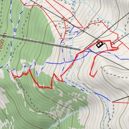
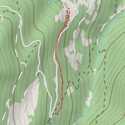
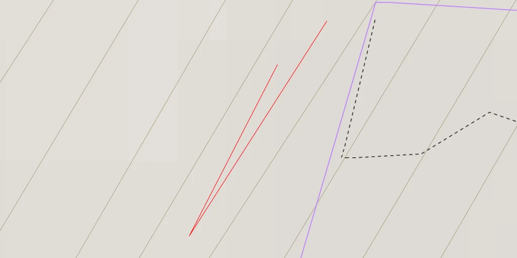
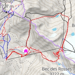
Pierre Avoi Clochetons
Duration
00:00
Distance
0.054 km
Elevation
m
This route is provided by the
Camp to Camp
community. Click here to access it directly on their website.
Petite école d'escalade avec panorama ébouriffant.
Open in Relief Maps
Download GPX
All hiking routes
Other routes nearby
Nendaz
Bortabiche
Rencontre avec un glacier (sentier à thème) - Rencontre avec un glacier (sentier à thème)
Mont Rogneux
waterfall
Six Blanc
Chemin des Luis
Tête de la Payanne