Relief Maps
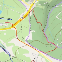
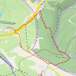
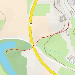
AI - Pod kótou 823 - Hroznětín
Duration
01:44
Distance
6.448 km
Elevation
278.0 m
Open in Relief Maps
Download GPX
All hiking routes
Other routes nearby
12/14D - Wiesengrund - Oberwiesenthal
12/15 - Wiesengrund - Oberwiesenthal
Okno
Borůvčí
Lesní
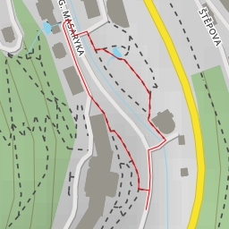
T. G. Masaryka
Dub
Ottův rybník