Relief Maps
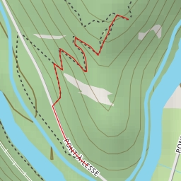
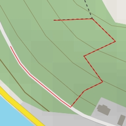
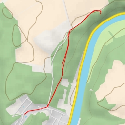
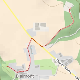
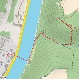
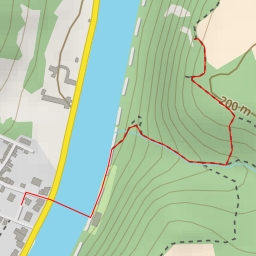
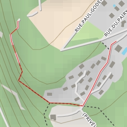
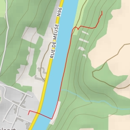
AI - Mont d'Haurs
Duration
00:36
Distance
2.201 km
Elevation
102.0 m
Open in Relief Maps
Download GPX
All hiking routes
Other routes nearby
AI - Rocher des Copères
AI - Sentier n°i19 - Waulsort
AI - Paradis des Chevaux - Waulsort
AI - Blaimont
AI - Le Drapeau
AI - Le Drapeau - Waulsort
AI - Chemin n°i8 - Waulsort
AI - Château Thierry - Waulsort