Relief Maps
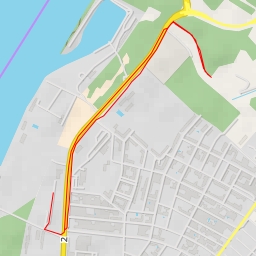
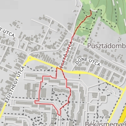
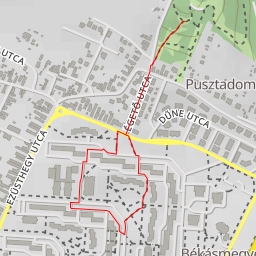
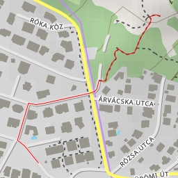
AI - Fazekas-hegy
Duration
00:16
Distance
1.118 km
Elevation
35.0 m
Open in Relief Maps
Download GPX
All hiking routes
Other routes nearby
Schiller Opel - Váci út - Budapest
Kálvária
Meggy utca - Budapest
Rózsa utca - Budapest
Ibolya utca - Budapest
MH hadikikötő - Üdülő sor - Budapest
Schiller Opel - Váci út - Budapest
Rókahegyi út