Relief Maps
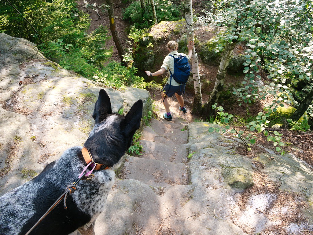
Hiking : AI - Formschlucht - Gohrisch
Durée
00:36:52
Distance
2.534 km
Dénivelé
67.0 m
Open in Relief Maps
Download GPX
All hiking routes
Other routes nearby
AI - Napoleonschanze
AI - Schlaglöcherweg - Hohnstein
AI - Erlichtweg - Bad Schandau
AI - Elsas Ruh
AI - Hohnstein
AI - Kernzonengrenze - Hohnstein
AI - Albert-Promenade - Bad Schandau
AI - Osterspitze
&fill=rgba(0,0,0,0))