Relief Maps
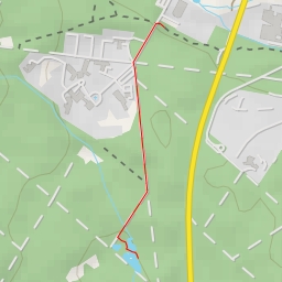
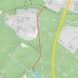
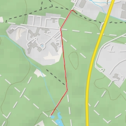
AI - Burgturm - Burg Königstein
Duration
00:00
Distance
0.969 km
Elevation
0.0 m
Open in Relief Maps
Download GPX
All hiking routes
Other routes nearby
Hauptweg - Hauptweg
Hauptweg
Hauptweg - Hauptweg
Maasgrundweiher
Malerblick
Viktoriatempel
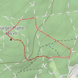
Bürgel-Platte
Kanonenstraße - Kanonenstraße