Relief Maps
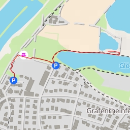
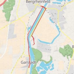
AI - Beerhüterturm
Duration
00:17
Distance
1.163 km
Elevation
35.0 m
Open in Relief Maps
Download GPX
All hiking routes
Other routes nearby
SW 28
St 2271
St 2272
Am Wehrbusch
Main
Main