Relief Maps
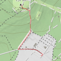
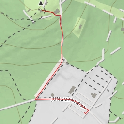
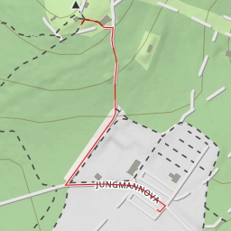
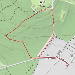
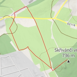
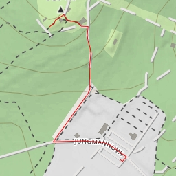
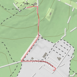
AI - Blick ins Egerland
Duration
00:19
Distance
1.372 km
Elevation
34.0 m
Open in Relief Maps
Download GPX
All hiking routes
Other routes nearby
Háj
rozhledna Háj u Aše
Martin-Andersen-Nexö-Straße
U Rozhledny
U Rozhledny
Skřivánčí vrch
Friedrich Schiller - U Rozhledny
U Rozhledny