Relief Maps
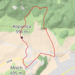
AI - Magura
Duration
01:27
Distance
5.348 km
Elevation
237.0 m
Open in Relief Maps
Download GPX
All hiking routes
Other routes nearby
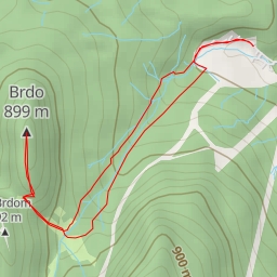
Brdo
Sokol
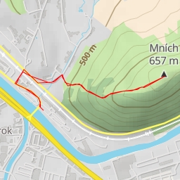
Mních
Paraglidistický chodník
Paraglidistický chodník
D1