Relief Maps
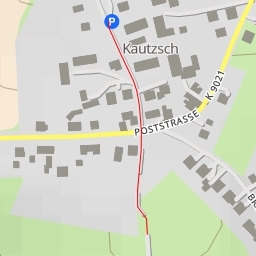
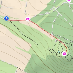
AI - Köttewitz - Dohna
Duration
00:12
Distance
0.772 km
Elevation
34.0 m
Open in Relief Maps
Download GPX
All hiking routes
Other routes nearby
AI - Kreischa
AI - TP Wilisch - Glashütte
AI - Wilischbaude - Glashütte
AI - RoterBusch - Liebstadt
AI - Wächterhaus
AI - Zuckerhut
AI - Dresden
AI - Dohna