Relief Maps
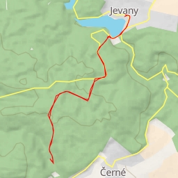
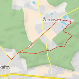
AI - Kunice
Duration
00:17
Distance
1.145 km
Elevation
36.0 m
Open in Relief Maps
Download GPX
All hiking routes
Other routes nearby
11311 - 11311
Na Zámkách
Hlavní
Brožkova
Legner - 11320
Lomová
Doubecká