Relief Maps
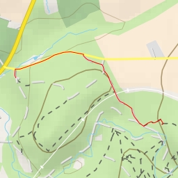
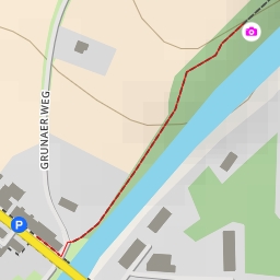
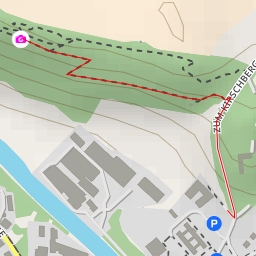
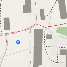
AI - Entenschnabel Aussichtspunkt
Duration
00:46
Distance
3.641 km
Elevation
33.0 m
Open in Relief Maps
Download GPX
All hiking routes
Other routes nearby
Hessberg
Rothe Hirsch
Hopfenberg
Alberthöhe;Emilientempel
Pavillon
AI - Roter Berg
AI - Kirschberg
AI - Der Weinkeller - Nossen