Relief Maps
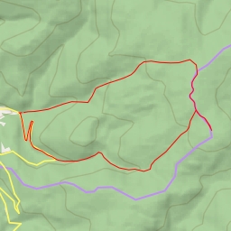
AI - modrá - Selský flow trail - Dolní Morava
Duration
01:12
Distance
3.985 km
Elevation
246.0 m
Open in Relief Maps
Download GPX
All hiking routes
Other routes nearby
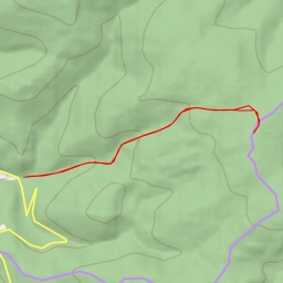
Jawornik Graniczny
Rude Krzyże / Kunčický hřbet
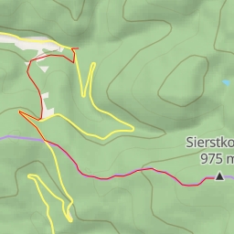
Sierstkowa
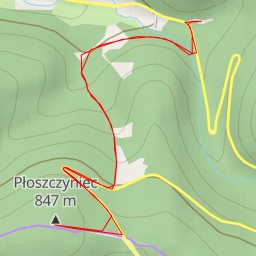
Płoszczyniec
Płoszczynka
Kocie Wzgórze
31241
31241