Relief Maps
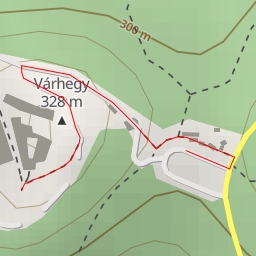
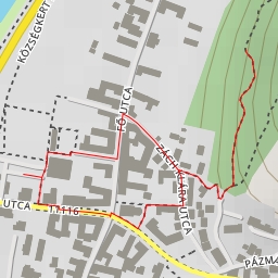
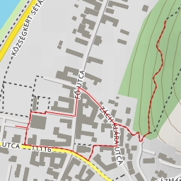
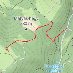
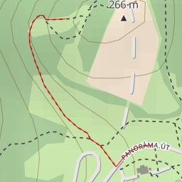
AI - stáció - Márianosztra
Duration
00:29
Distance
2.226 km
Elevation
33.0 m
Open in Relief Maps
Download GPX
All hiking routes
Other routes nearby
AI - Visegrád
AI - Bányatető-kilátó (Ideiglenesen lezárva)
AI - Zsitvay-kilátó (Nagyvillám)
AI - vár-torony - Visegrád
AI - XII. stáció - Visegrád
AI - Viktorin sétány - Visegrád
AI - Új-osztás - Visegrád
AI - 7. Virágos rét - Visegrád