Relief Maps
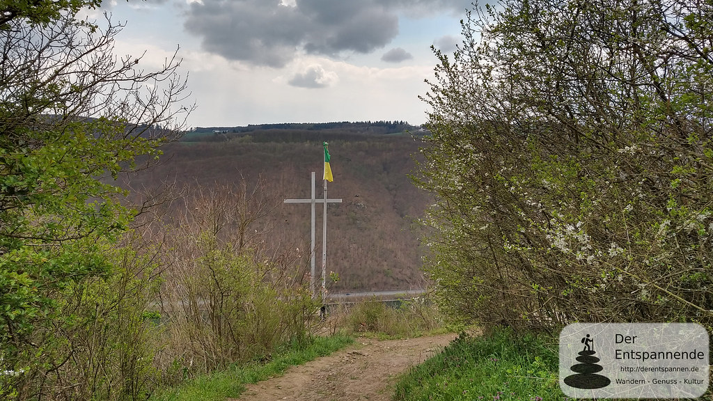
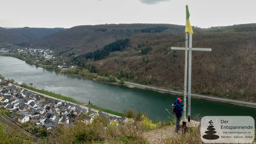
AI - Kreuzlay
Duration
00:42
Distance
2.523 km
Elevation
123.0 m
Open in Relief Maps
Download GPX
All hiking routes
Other routes nearby
L 205 - L 205
AI - Achterbusch Blick
AI - Am Layer Berg
AI - Hitzlay
AI - Felicia Mosella
AI - Mönch-Felix-Hütte
AI - Carolaturm
AI - Nothbach
&fill=rgba(0,0,0,0))