Relief Maps
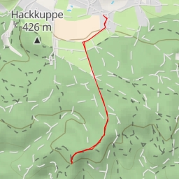
AI - Studenec - odbočka - Česká Kamenice
Duration
00:39
Distance
2.393 km
Elevation
109.0 m
Open in Relief Maps
Download GPX
All hiking routes
Other routes nearby
AI - výhled na Benešov
koupaliště
Tondova díra - Tondova díra
Vilemínina stěna
Eisenspitze
Grünstelle
Hinterhermsdorfer Turm
Hollturm