Relief Maps
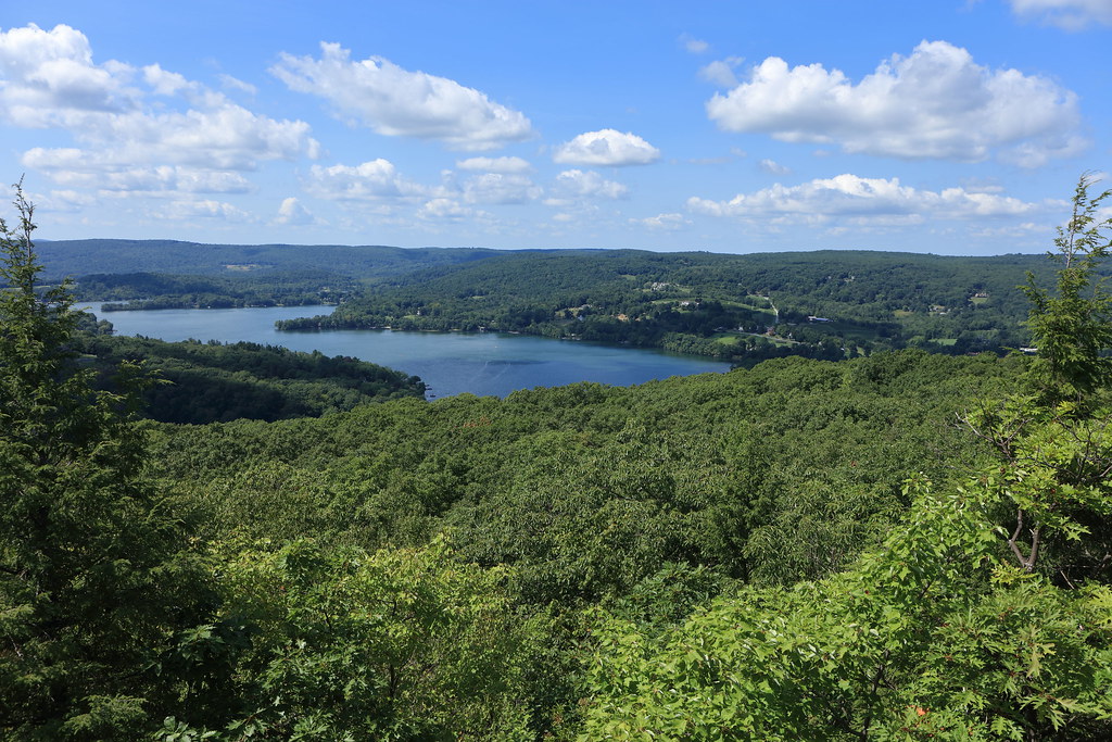
AI - Waramaug's Rock
Duration
01:21
Distance
5.417 km
Elevation
168.0 m
Open in Relief Maps
Download GPX
All hiking routes
Other routes nearby
AI - Steep Rock
AI - Waramaug's Rock
AI - Waramaug's Rock - Washington
AI - Mount Tom
AI - Mount Prospect
AI - Bog Bridge - Litchfield
AI - Mount Tom
AI - Bog Bridge - Litchfield
&fill=rgba(0,0,0,0))