Relief Maps
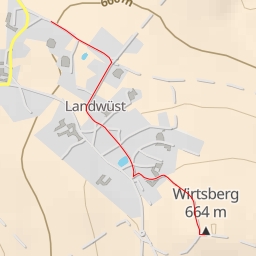
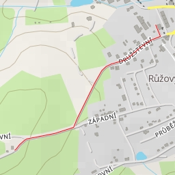
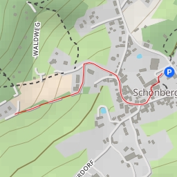
AI - Wirtsberg
Duration
00:28
Distance
2.155 km
Elevation
33.0 m
Open in Relief Maps
Download GPX
All hiking routes
Other routes nearby
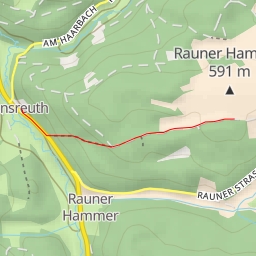
AI - Rauner Hammer
AI - Aussichtspavillon Landwüst
AI - Markneukirchen
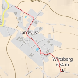
AI - Wirtsberg
AI - Západní - Luby
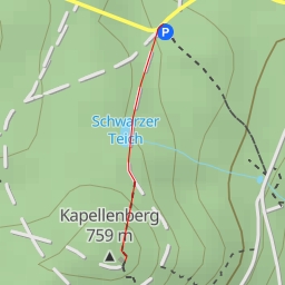
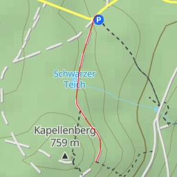
AI - Kapellenbergturm
AI - Blick nach Wildstein
AI - Blick ins Egerland