Relief Maps
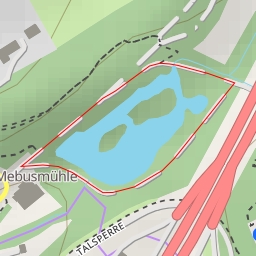
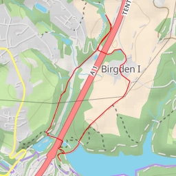
AI - Bilstein
Duration
00:24
Distance
1.763 km
Elevation
33.0 m
Open in Relief Maps
Download GPX
All hiking routes
Other routes nearby
Lambecker Mühle
Westenberg
Dohnenstieg - Wuppertal
A 1 - Remscheid
Tente - Tente - Remscheid
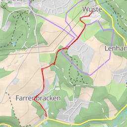
Wüste - Remscheid
Landwehr - Fockenhausen
Im Klimop