Relief Maps
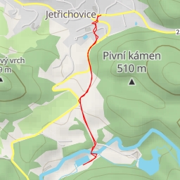
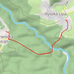
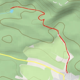
AI - Hradní jehla
Duration
00:31
Distance
2.363 km
Elevation
33.0 m
Open in Relief Maps
Download GPX
All hiking routes
Other routes nearby
Zlodějská cesta - Zlodějská cesta
Gabrielina stezka - Gabrielina stezka
Salmovský rybník
Studený důl - Studený důl
koupaliště
Tondova díra - Tondova díra