Relief Maps
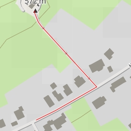
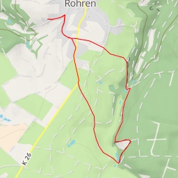
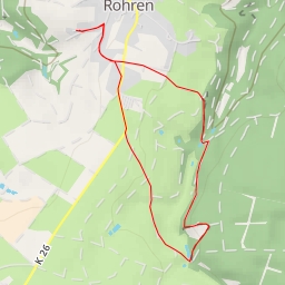
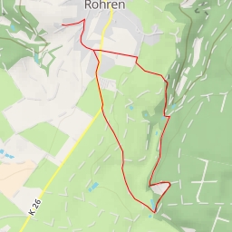
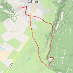
AI - Monschau
Duration
00:00
Distance
0.465 km
Elevation
0.0 m
Open in Relief Maps
Download GPX
All hiking routes
Other routes nearby
Hohe
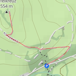
Eifelkreuz
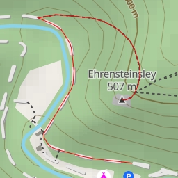
Ehrensteinsley
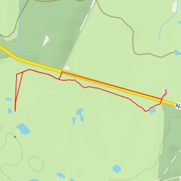
N67
B 258
B 258
B 258
B 258