Relief Maps
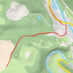
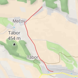
AI - Mečov
Duration
00:33
Distance
2.502 km
Elevation
33.0 m
Open in Relief Maps
Download GPX
All hiking routes
Other routes nearby
Písčitá výšina
Žaltman - Panská cesta
Picolominy
U Signálu
AI - U transformátoru
AI - RoBiN OIL Rtyně - Rtyně v Podkrkonoší
AI - Jiráskova chata