Relief Maps
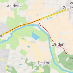
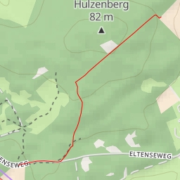
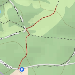
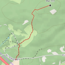
AI - Schmelendriß - Kranenburg
Duration
00:00
Distance
1.296 km
Elevation
0.0 m
Open in Relief Maps
Download GPX
All hiking routes
Other routes nearby
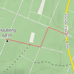
Hauberg
Hertenkop
Niers
Duits Lijntje - Duits Lijntje
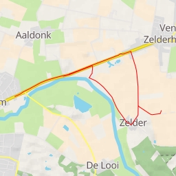
Zelder
AI - Boterweg - Stokkum
AI - Oude Eltenseweg - Stokkum
AI - Uitkijktoren Hulzenberg - Beek