Relief Maps
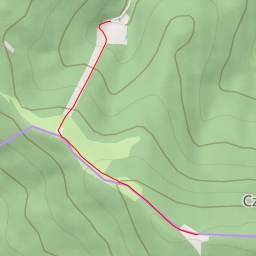
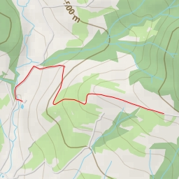
AI - Panorama gór - Wisła
Duration
01:30
Distance
3.679 km
Elevation
463.0 m
Open in Relief Maps
Download GPX
All hiking routes
Other routes nearby
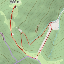
AI - Horská chata Čantoryje
AI - Czantoria Mała
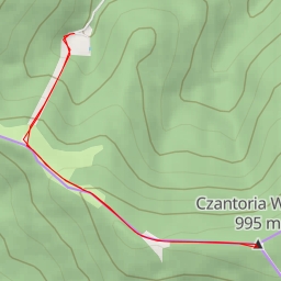
AI - Rozhledna Velká Čantoryje
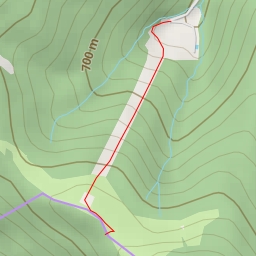
AI - 45/4 - Nýdek
AI - Nýdek
AI - Nýdek
AI - Trzy Kopce - Brenna
AI - Czupel