Relief Maps
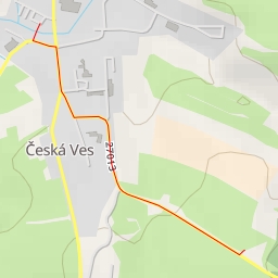
AI - Muschelsaal - Oybin
Duration
00:15
Distance
1.034 km
Elevation
34.0 m
Open in Relief Maps
Download GPX
All hiking routes
Other routes nearby
Lubischhöhe
Žlutá stěna
Ziegeunerle
Cukrová homole
AI - Jablonné v Podještědí
AI - Jablonné v Podještědí
AI - Česká Ves v Podještědí - Jablonné v Podještědí
AI - Black Cattle Camp