Relief Maps
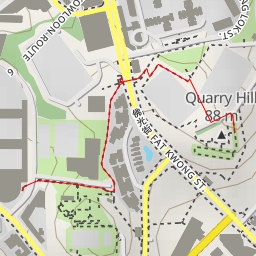
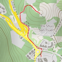
AI - 柏架山道觀景台 Mount Parker Road Viewing Point
Duration
01:04
Distance
3.643 km
Elevation
208.0 m
Open in Relief Maps
Download GPX
All hiking routes
Other routes nearby
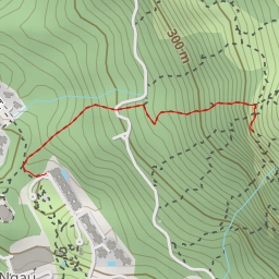
大石鼓 Magog
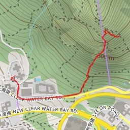
Skyline Crag (A 字崖)
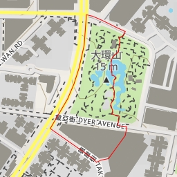
大環山 Tai Wan Shan
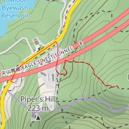
尖山 Eagle's Nest
老龍坑山 Lo Lung Hang Hill
竹角山
麻南笏頂
五桂石