Relief Maps
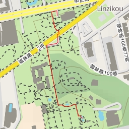
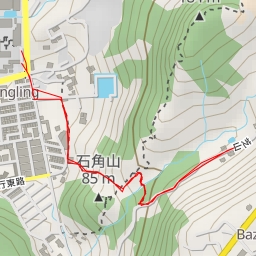
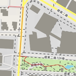
AI - 台北大縱走 "壯" 拓印台
Duration
00:39
Distance
1.729 km
Elevation
188.0 m
Open in Relief Maps
Download GPX
All hiking routes
Other routes nearby
中花園 - 花卉大道 - 臺北市
德行東路338巷 - 臺北市
疏洪十二路 - 新北市
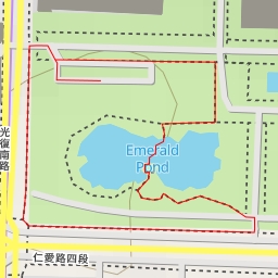
水生植物區
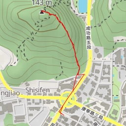
白鷺鷥山
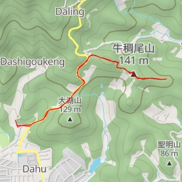
東牛稠尾山
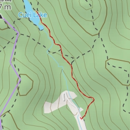
翠湖
翠湖