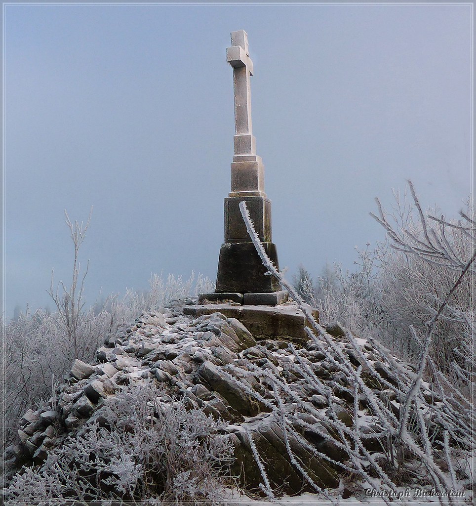
Relief Maps

Hiking : AI - Vyhlídka

Map of the trail for AI - Vyhlídka

Durée

01:16:09

Distance

5.541 km

Dénivelé

102.0 m

Other routes nearby

thumbnail for AI - Talsperre Gottleuba - Bad Gottleuba-Berggießhübel

AI - Talsperre Gottleuba - Bad Gottleuba-Berggießhübel

thumbnail for AI - Bad Gottleuba-Berggießhübel

AI - Bad Gottleuba-Berggießhübel

thumbnail for AI - Turmalingranit - Bad Gottleuba-Berggießhübel

AI - Turmalingranit - Bad Gottleuba-Berggießhübel

thumbnail for AI - Tannenbusch

AI - Tannenbusch

thumbnail for AI - Wasserbehälter - Bad Gottleuba-Berggießhübel

AI - Wasserbehälter - Bad Gottleuba-Berggießhübel

thumbnail for AI - Aussichtsturm Kohlhaukuppe

AI - Aussichtsturm Kohlhaukuppe

thumbnail for AI - Krupka

AI - Krupka

thumbnail for AI - Sedmihůrská Vyhlídka

AI - Sedmihůrská Vyhlídka