Relief Maps
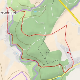
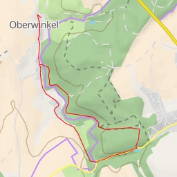
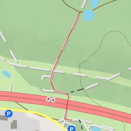
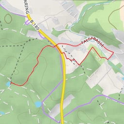
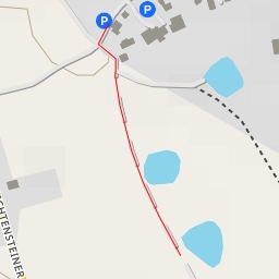
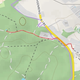
AI - Hoher Hain
Duration
00:21
Distance
1.497 km
Elevation
34.0 m
Open in Relief Maps
Download GPX
All hiking routes
Other routes nearby
Waldecke
K 7354 - K 7354
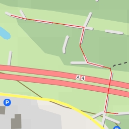
A 4 - A 4
Goldforstweg
A 4
Am Sachsenring
Südstraße
Bäckerloch