Relief Maps
AI - 百歲亭
Duration
00:38
Distance
1.751 km
Elevation
174.0 m
Open in Relief Maps
Download GPX
All hiking routes
Other routes nearby
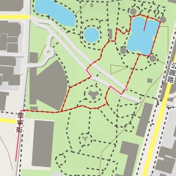
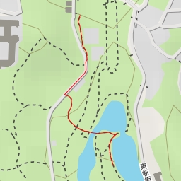
翠亨閣 - 公園路 - 臺北市
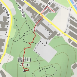
舊莊山
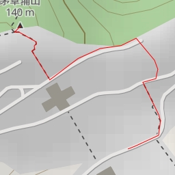
茅草埔山
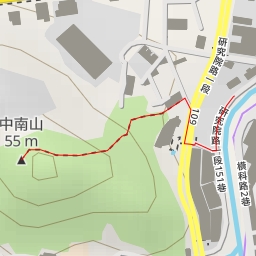
中南山
後山埤
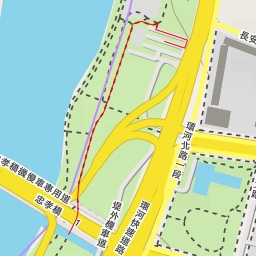
淡水河河濱自行車道 - 淡水河河濱自行車道 - 臺北市
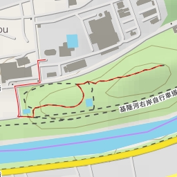
內湖垃圾山
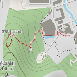
茅草埔山北峰