Relief Maps
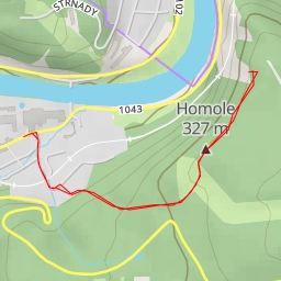
AI - Hvozdnice, Chaty - Hvozdnice
Duration
01:21
Distance
6.211 km
Elevation
78.0 m
Open in Relief Maps
Download GPX
All hiking routes
Other routes nearby
AI - Máj (448 m)
1043
Jílovská
10114 - 10114
1043 - 1043