Relief Maps
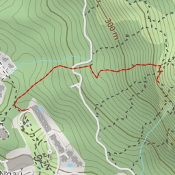
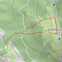
AI - 大嶺峒 Tai Leng Tung
Duration
00:34
Distance
1.65 km
Elevation
145.0 m
Open in Relief Maps
Download GPX
All hiking routes
Other routes nearby
大石鼓 Magog
Skyline Crag (A 字崖)
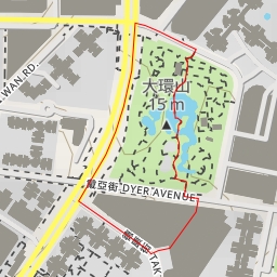
大環山 Tai Wan Shan
竹角山
麻南笏頂
五桂石
沙田路 Sha Tin Road - 沙田區 Sha Tin District
肥豬石