Relief Maps
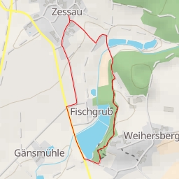
AI - Kuschberg
Duration
00:56
Distance
4.39 km
Elevation
45.0 m
Open in Relief Maps
Download GPX
All hiking routes
Other routes nearby
AI - Schloßberg
AI - Kemnath
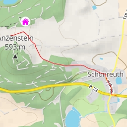
AI - Hütte Anzenberg
AI - Burgruine Waldeck - Kemnath
AI - Kemnath-Blick
AI - Sperlkreuz - Trabitz
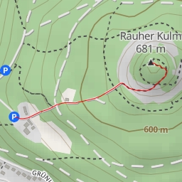
AI - Rauher Kulm
AI - Schloss Weihersberg - Trabitz