Mütschüelweg
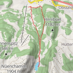
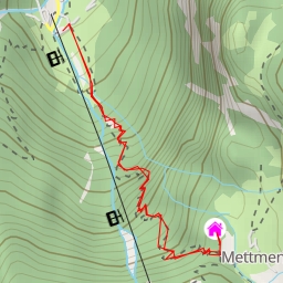
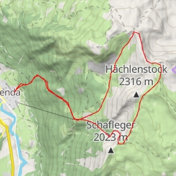
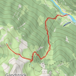
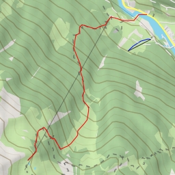
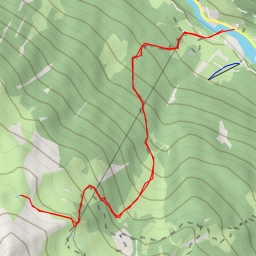
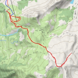
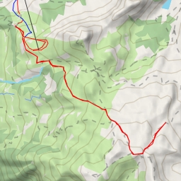
This hiking route takes you through the beautiful area of Mütschüelweg, offering stunning views and a challenging adventure. With a total distance of 11.4 kilometers and an elevation gain of 424 meters, this difficult trail is perfect for hikers looking for a workout.
As you start your journey, you will come across the Sächserseeli lake, located 5.45 kilometers from the beginning of the trail. This serene spot is perfect for a quick rest and enjoying the surrounding natural beauty. Further along the route, at the 2.06-kilometer mark, you will find informative points of interest to enhance your hiking experience.
Be sure to bring plenty of water and snacks as you continue on the trail. With various water sources along the way, like the Gross Sächser and Chli Sächser peaks, you can replenish your supplies and stay hydrated.
For a relaxing break, you can visit the benches located at the 5.47-kilometer mark, offering a peaceful place to rest and take in the scenery. Additionally, the information points at various locations provide insights into the area's history and natural features.
As you near the end of the route at Mütschüelweg, you will have completed a challenging hike that rewards you with panoramic views and a sense of accomplishment. Remember to check the weather forecast before embarking on this adventure and ensure you are well-prepared for the rugged terrain.
Overall, this out-and-back trail offers a memorable hiking experience for those seeking a mix of natural beauty, physical challenge, and tranquility in the Mütschüelweg area.